Lecture 5: Computer Graphics & Geocoding

Computer Cartography

J Mwaura

Computer Graphics Basics

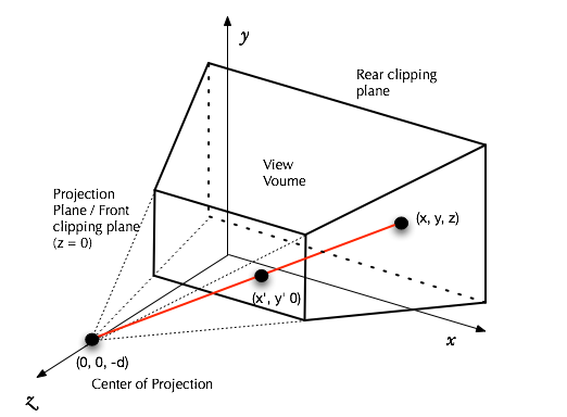
Computer graphics is the computational creation and manipulation of visual data

Importance of computer graphics

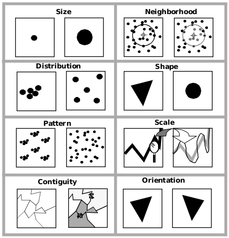
  • Understanding and interpreting information - Visualization is necessary for dealing with cartographic data
  • Improved communitcation with computers - Graphical and audio interfaces are helpful
  • Better cartographic designs -

Applications of Computer Graphics

Computer aided design

  • Architecture
  • Engineering

Visualization

  • Cartography
  • Demographic studies
  • Financial planning

I. Classification of Computer Graphics

Mathematical Structures

  • Spaces, points, vectors; dusts, curves, surfaces, solids

Modeling

  • Description of objects and their attributes, including: Primitives (e.g. pixels, polygons), Attributes (e.g. color, texture), Connectivity (e.g. scene graphs), Dynamics (e.g. motion, morphing)
  • and techniques for object modeling, including: Polygon meshes, Solid Geometry, Patches

II. Classification of Computer Graphics

User Interfaces

  • Human factors, I/O devices, color theory, workstations, interactive techniques, map design, animation

Graphics Software

  • Graphics APIs; paint, draw, CAD and animation software; modeling and image databases

Graphics Hardware

  • I/O devices, specialized chips, specialized architectures

III. Classification of Computer Graphics

Viewing

  • Abstract to device coordinate transformations, the syntehetic camera, windows, viewports, clipping

Rendering

  • Transparency, translucency, reflection, refraction, shadows, shading, surface and texture mapping

Image Processing

  • Image description, image storage, image transformations, image filtering, image enhancement, pattern recognition, edge detection, object reconstruction

Objects vs. Images

Objects (usually 3-D) are the conceptual entities that exist in their own coordinate systems

Images (usually 2-D) are the realizations of objects on some media

Objects vs. Images

To make images, we need to take into account

  • The position and orientation of the viewer
  • The properties of the camera, such as its focal length and aspect ratio
  • Properties of the materials
  • How the scene is lit

Objects vs. Images

Projection turns 3-D into 2-D

Graphics Systems

Input Devices

  • Physical: Keyboard, mouse, tablet, touch pad, touch screen, camera, light pen, microphone, etc

Graphics Systems

Output Devices

  • Examples: CRT display, LED display, LCD display, Plasma display, printer, plotter, e-paper, hologram generator, film recorder, sound recorder, speaker, etc

2-D output devices are either vector devices, which physically draw line segments (like a plotter), or raster devices, which display a grid of colored pixels (picture elements)

Make sure to take a look at screen resolutions

Graphics Systems

Frame Buffer

  • Memory that holds data for each pixel. May be separate buffers: color buffer, depth buffer, stencil buffer, accumulation buffer
  • Each buffer has a number of bits per pixel, called its depth

Graphics Pipelines

The OpenGL pipeline works roughly as follows

Geocoding

Geocoding is the conversion of spatial information into computer-readable form

Reasons

  • geocode with a specific mapping purpose in mind
  • general purpose geocoding

Geocoding

Levels of geocoding

  • Convert the graphic elements of a map into numbers (nontopological) - e.g. river & road plotted as lines ontop of each other
  • Encode important topological information about the data - e.g. river & road, bridge is added to break the river

Characteristics of Geographic Data

1. Location

  • An attribute of location on the earth's surface
  • x & y values represent latitude & longitude

2. Data Volume

  • Many cartographic data processing problems are generic problems of large data sets

Characteristics of Geographic Data

3. Dimension

  • Traditionally, cartography has divided data into points, lines, & areas
  • Levels of measurement are divided into nominal, ordinal, interval, & ratio

4. (Dis)Continuity

  • Some map types, such as contour maps, assume a continuous distribution, while others, such as choropleth maps, assume a discontinuous distribution

Properties of Geographic Objects

Properties of Geographic Objects

1. Size

  • Size is characterized in measurement

2. Distribution

  • Density is a measure of the distribution of a phenomenon across space

3. Pattern & Orientation

  • Pattern is actually a characteristic of distributions and is a description of their structure
  • Pattern can be thought of as a lack of randomness

Properties of Geographic Objects

4. Neighborhood

  • eighborhood property defines how the property varies over space
  • Geographic studies often examine the relationship between some geographic phenomenon and distance

5. Contiguity

  • Contiguity is the property of being related by juxtaposition, i.e. by a sharing of a common boundary

Properties of Geographic Objects

6. Shape

  • Shapes depicts the measures of the level of correspondence between shapes

7. Scale

  • Scale is the representative fraction, the ratio of distances on a map to the same distances in that part of the world shown on the map

Goals of Geocoding Methods

Minimize labor input

Detect & eliminate errors

Optimize storage efficiency

Maximize flexibility

Geocoding Methods

Semiautomated digitizing

Automated digitizing

Assignment

Design symbols for airport & car

End of Lecture

Computer Cartography

That's it!

Queries about this Lesson, please send them to: jmwaura@jkuat.ac.ke

*References*

  • Analytical and Computer Cartography, 2nd ed. Keith C. Claike
  • Geographic Information Systems: The Microcomputer and Modern Cartography, 1st ed. Fraser Taylor
Courtesy of Open School
Computer Cartography