Proprietary
- ArcGIS by Esri
- MapInfo by Pitney Bowes & Precisely
- SuperMap by Peoples Republic
Open source
- QGIS by Open Source Geospatial Foundation (OSGeo)
- DevInfo
- DIVA-GIS
Proprietary
Open source
Performance & user-friendliness
User support & personal/Org preference
Cost & terms of software's user licence
Functionality; Data management, Visualization & Spatial Analysis
Open your Internet browser
Type QGIS on search window
Open this link https://qgis.org/en/site
Check for your preferred version, click on Download

Check on installation file
Release version
unstable versions, new featuresstable versions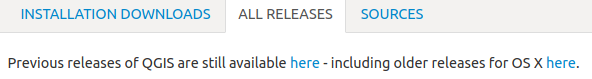
Download QGIS version QGIS-OSGeo4W-...ver..-Setup-x86_64.exe or QGIS-OSGeo4W-...ver..-Setup-x86.exe
To install QGIS, navigate to the Download folder with the QGIS installation file
Double-click the installation file QGIS-OSGeo4W-...ver..-Setup-x86_64.exe or QGIS-OSGeo4W-...ver..-Setup-x86.exe
Follow the on-screen instructions to complete the installation
To launch QGIS, Double-Click QGIS Desktop icon on your desktop

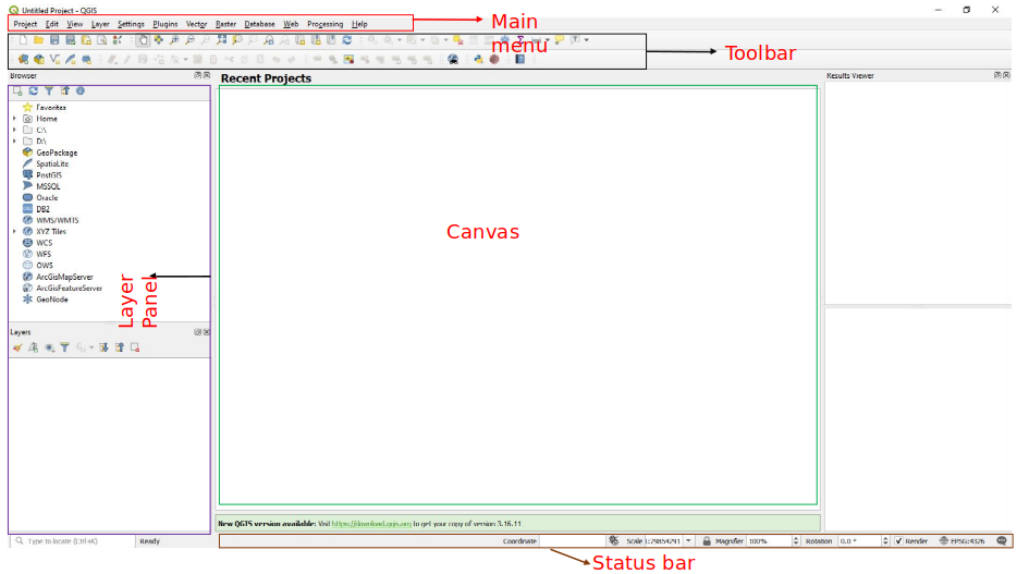
Elements of the interface
Plugins are modules that allow you to extend the QGIS functionality
Plugins are available https://plugins.qgis.org/plugins

To use plugins first download, install and activate them
Plugins menuManage and Install Plugins, to open plugins dialog box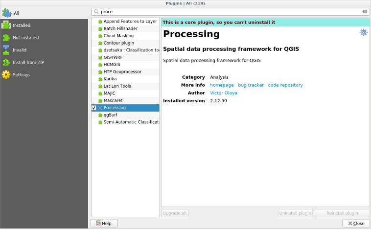
In the dialog that opens, find the Processing plugin, check to Activate
Select the Not Installed option in the Plugin Manager dialog
Highlight a plugin for more information
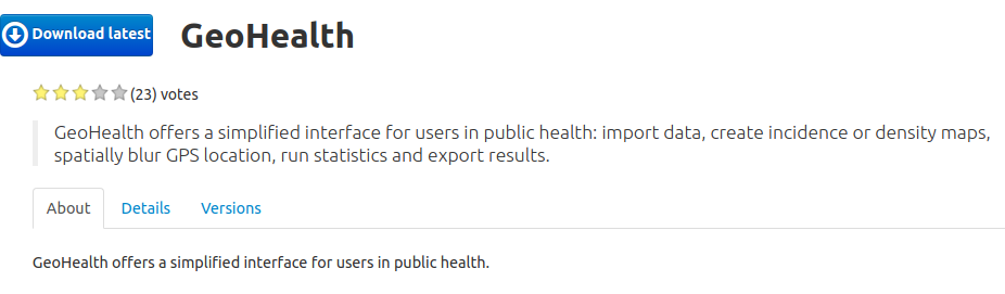
Search a plugin e.g. GeoHealth
Install by clicking the Install Plugin button below
Congratulations: your software is ready!
Loading different data types
Navigation tools
Data selection
Attribute table
Find features
Creation of data
Querying of data
Demo on;
Demo on;

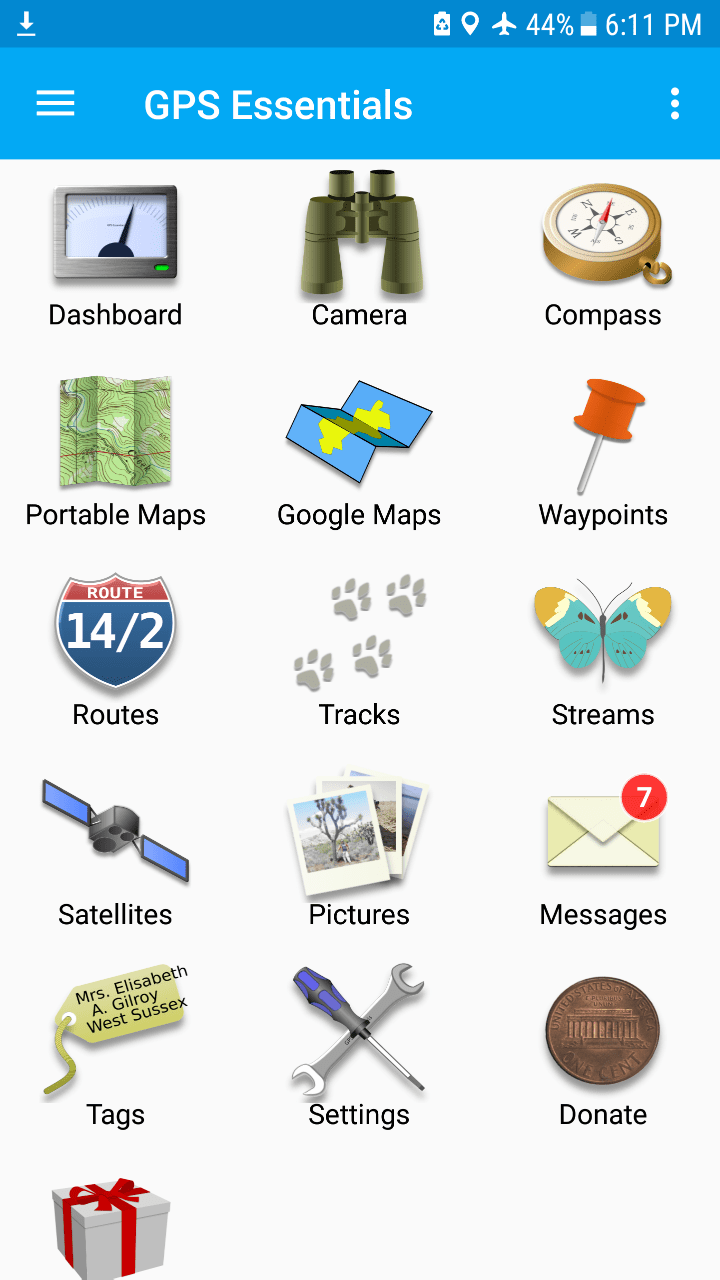
GPS Essentials Home page
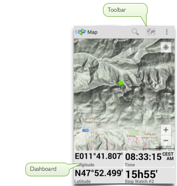
Fullscreen area to place widgets that show you navigation information
The contents of the widget are color-encoded:
Shows a HUD (head up display) of your waypoints
You can also shoot images
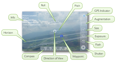
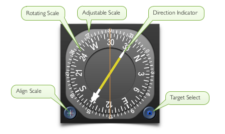
The compass features a rotating scale, an adjustable scale and a direction indicator
Shows your waypoints, routes and tracks on a map
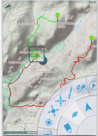
Shows your waypoints, routes and tracks on a map
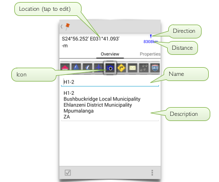
The waypoints stream is a default place to store your waypoints/coordinates
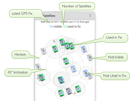
Sky view of all GPS satellites that are visible to your device
Science of Where, for Why